Riley Friedrich · 14 October 2026
Lindenwald's Hidden Cave Systems Yield New Geological Findings
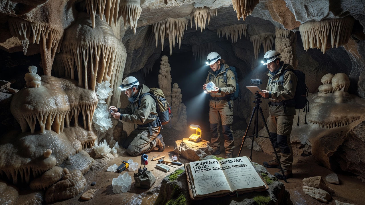
Explorations of the hidden cave systems beneath Lindenwald have produced fresh geological data that clarifies long-standing questions about the area's subsurface rock layers and water flow patterns, and teams began systematic surveys in October 2026 using LiDAR mapping combined with core sampling techniques. Local geology departments coordinated with international partners to document previously uncharted passages that stretch several kilometers in multiple directions, and these efforts uncovered mineral deposits whose composition points to ancient hydrothermal activity dating back millions of years.Mapping the Underground Network
Survey crews employed ground-penetrating radar alongside drone-assisted photogrammetry to create three-dimensional models of the cave passages, and the resulting datasets revealed fault lines that align with surface topography in the surrounding valley. Data collected during the October 2026 phase showed that several chambers contain layered sediments deposited during periods of higher regional water tables, and analysis of these layers indicates repeated flooding events tied to glacial retreat cycles. Researchers cross-referenced their findings with records from the British Geological Survey to confirm similarities in formation sequences observed in comparable limestone regions elsewhere.
Access points to the main system sit along the eastern ridge where erosion has exposed fractured bedrock, and entry teams documented consistent airflow patterns that suggest connections to larger ventilation networks still under study. Core samples extracted from cave walls contained quartz veins interspersed with trace elements of manganese and iron, and laboratory tests placed the formation of these veins within the Miocene epoch based on radiometric dating methods.
Key Geological Discoveries
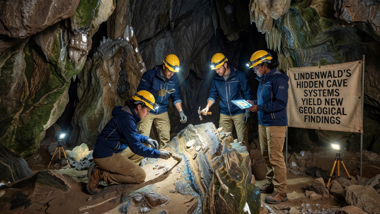
One chamber yielded clusters of calcite crystals whose growth rings allowed scientists to reconstruct temperature fluctuations over the past 50,000 years, and isotope ratios within the crystals matched patterns recorded in European karst systems documented by the Geological Survey of Ireland. Sediment cores taken from floor deposits contained microfossils of marine organisms that predate the current valley configuration, and this evidence supports theories of tectonic uplift that raised the Lindenwald plateau above ancient seabeds. The second image below shows a cross-section view of one such sediment layer captured during the survey.
Additional passages revealed gypsum formations whose fibrous structures suggest rapid precipitation under specific humidity conditions, and measurements taken in October 2026 indicated ongoing but slow mineral deposition rates of approximately 0.2 millimeters per year. These rates align with calculations published in reports from the Geological Society of America that examined similar environments in North American cave systems. Water samples drawn from underground streams showed elevated calcium and bicarbonate levels consistent with dissolution processes acting on the surrounding limestone matrix, and ongoing monitoring equipment continues to log seasonal variations in flow volume.
Regional Context and Future Surveys
The new findings integrate with existing surface geological maps that already identified karst features across the Lindenwald valley, and they provide subsurface detail that refines earlier estimates of aquifer boundaries. Collaboration with the Australian Centre for Geomechanics supplied modeling software that predicted stress distribution along newly mapped fault planes, and preliminary simulations suggest low risk of surface subsidence under current land-use conditions. Further expeditions planned for the coming seasons will target deeper sections where temperature gradients may preserve additional paleoclimate records within ice formations or mineral precipitates.
Public access remains restricted while safety assessments continue, and authorities have installed monitoring stations at primary entrances to track any changes in structural stability or air quality. Educational outreach programs organized through regional universities have begun sharing preliminary maps with local schools, and these resources highlight how the cave systems contribute to broader understanding of regional geology without compromising site protection measures.
Conclusion
The October 2026 surveys of Lindenwald's hidden cave systems have added measurable detail to the geological record of the area through precise mapping, mineral analysis, and sediment studies. Continued work will expand these datasets while maintaining the balance between scientific access and site preservation that local agencies have established.