Anna Zimmermann · 16 September 2026
Lindenwald Valley's Rocky Outcrops Shelter Specialized Bryophyte Colonies Mapped for Biodiversity Insights
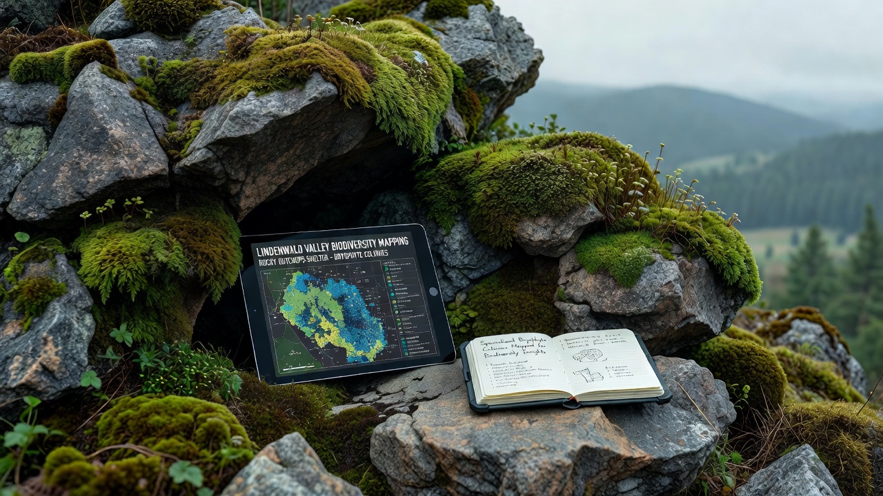
Researchers completed a detailed mapping project across Lindenwald Valley's rocky outcrops in September 2026, and the effort documented specialized bryophyte colonies that thrive in these exposed stone environments. The study focused on mosses, liverworts, and hornworts that form distinct communities on granite and limestone formations, where thin soils and variable moisture create conditions suited to these non-vascular plants. Data from the survey shows how these colonies contribute to local biodiversity by stabilizing surfaces and retaining water during dry periods.
Habitat Characteristics of the Outcrops
Rocky outcrops in Lindenwald Valley rise from the valley floor and feature crevices that trap organic matter, while south-facing slopes receive intense sunlight and north-facing sections stay cooler and damper. Bryophytes colonize these micro-sites because they absorb water directly through their tissues rather than through roots, and they tolerate cycles of wetting and drying that would stress vascular plants. Field teams recorded higher colony density on shaded ledges where humidity remains elevated, whereas exposed ridges supported fewer but more drought-resistant species.
Mapping Methods and Timeline
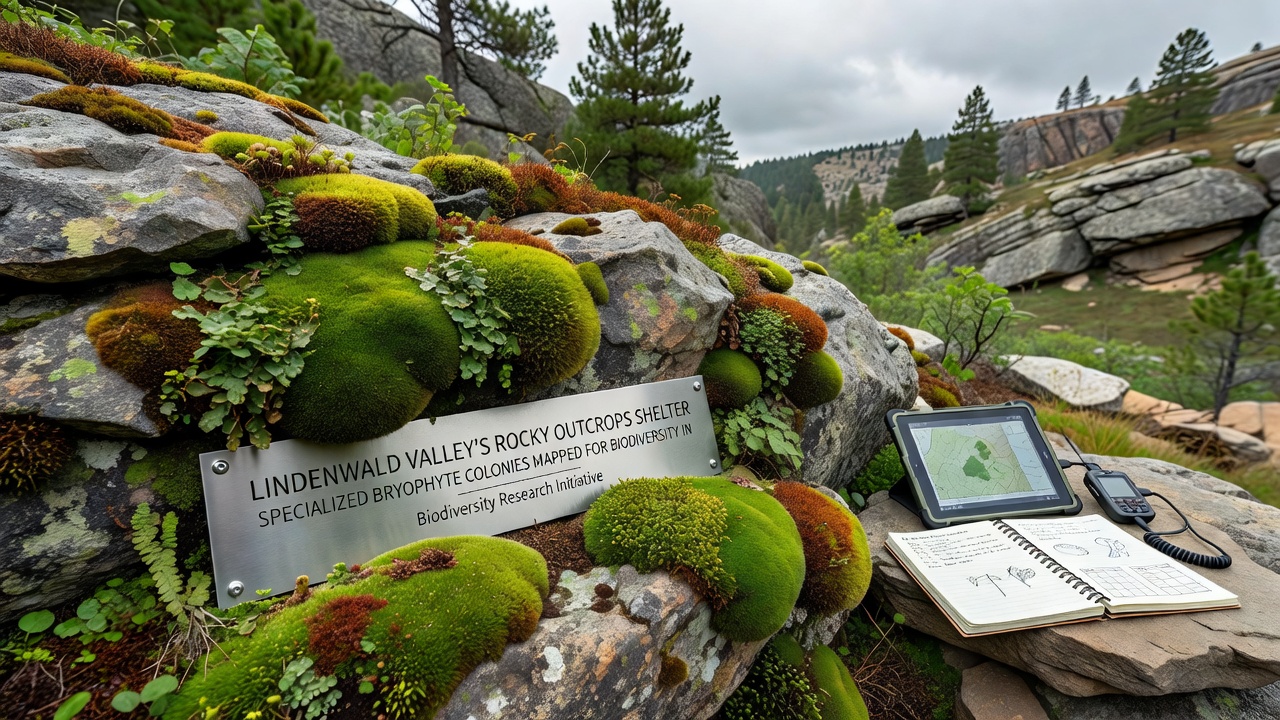
Surveyors used GPS units paired with drone imagery to mark colony boundaries, and they collected samples for laboratory identification during the September 2026 fieldwork window. Teams divided the valley into 200-meter grid squares and recorded species presence along with substrate type, slope angle, and light exposure. The resulting dataset combines ground-level observations with remote sensing layers that highlight vegetation patterns invisible from trail level. Project leads coordinated with local forestry offices to avoid disturbing nesting birds and scheduled work around seasonal rain events that could alter surface moisture readings.
Documented Species and Distribution Patterns
Analysis revealed clusters of Grimmia species on sun-exposed granite along with leafy liverworts such as Lophozia in shaded fissures. Hornworts appeared in pockets where fine sediment accumulated, and their presence correlated with slightly higher calcium levels in the rock matrix. Distribution maps indicate that larger colonies occupy north-facing outcrops near the valley's eastern edge, while smaller, scattered patches dominate the central ridge system. Researchers noted that some colonies extend across multiple adjacent rocks, forming continuous mats that link separate outcrop faces through shared moisture pathways.
Biodiversity Insights from the Survey Data
The mapping effort produced baseline records that researchers can compare against future surveys to track changes in colony extent. According to figures released by the European Environment Agency, similar outcrop habitats elsewhere in central Europe support between 25 and 40 bryophyte species per square kilometer, and Lindenwald Valley counts fall within that range. European Environment Agency habitat reports emphasize how these plants serve as indicators of air quality and microclimate stability. The September 2026 dataset further shows that areas with greater rock surface roughness host more diverse colonies, because crevices create protected niches for moisture-sensitive species.
Connections to Broader Ecological Functions
Bryophyte mats in the valley capture airborne particles and contribute organic matter that eventually supports soil development on otherwise barren rock. Observers have recorded small invertebrates living within the colony layers, and these microhabitats may influence nutrient cycling at the rock-soil interface. The mapping project also identified zones where invasive vascular plants have begun to encroach on bryophyte territory, particularly along trails that receive regular foot traffic. Those findings allow land managers to prioritize maintenance in areas where disturbance remains low.
Future Monitoring and Data Applications
Project coordinators stored all location data in a public geographic information system maintained by regional environmental authorities, and they plan repeat surveys at five-year intervals to detect shifts in colony boundaries. The September 2026 records provide a reference point for evaluating responses to changing precipitation patterns, and the same grid system can accommodate additional measurements such as temperature loggers or water retention tests. Researchers from institutions in Canada and Australia have expressed interest in comparing the Lindenwald dataset with outcrop studies from their own regions, which could reveal whether similar species assemblages respond to comparable environmental drivers across continents.
Conclusion
The mapping of bryophyte colonies on Lindenwald Valley's rocky outcrops supplies concrete spatial information that supports ongoing biodiversity assessments. The September 2026 fieldwork produced distribution maps and species lists that researchers can use to monitor habitat conditions and guide site-specific management decisions. Continued updates to the dataset will help track how these specialized communities respond to environmental variation over time.